Southern California from the Paleozoic to the Pleistocene
This is a gallery of photos from the 2016 Geosciences GEOL-290 Regional Geology fieldtrip to locations throughout southern California.
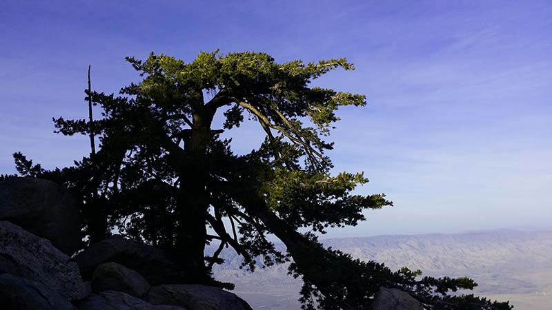
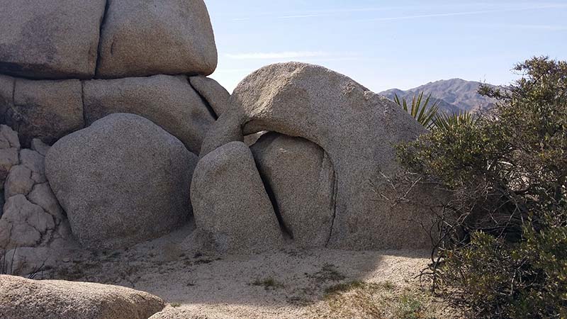
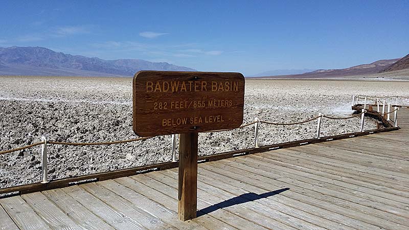
Southern California is an incredibly active place from a geological perspective. The Pacific Rise (the Pacific Ocean's spreading center) runs through the Gulf of California and the Salton Trough, generating crustal extension, faulting and a pull-apart basin with some hot rocks very close to the surface. A bit further to the north, along much of the coast of California, the Pacific Rise has collided with, and been subducted beneath the North American Plate, creating a transform boundary and a series of (mostly) right-lateral strike-slip faults, including the renounded San Andreas fault. Prior to and in conjunction with this series of events, California has been involved in accretionary events, orogenies, and erosion due to sea level change associated with recent ice-age glaciations; it has been the site of shallow seafloors that are now tall mountains. It is home to a myriad of microclimates controlled in some instances by water vapor that never precipitates. Surreal desert landscapes that persist for geological time, but are fragile at the same time.
The photo gallery here represents some of the geological places of interest that we visited over Spring Break 2016. Enjoy!
